Pathfinder

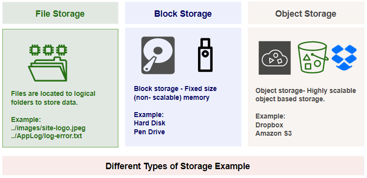
The geospatial data available in the Merkle Lab are saved in Pathfinder, a storage solution that enables a cloud-like presence hosted by ARCC. Its core functionality is hosting onsite backups as well as enabling data sharing and collaboration. Pathfinder uses the Simple Storage Service (S3) protocol originally developed by Amazon. S3 works on object storage through a service called Ceph, provided by Red Hat Enterprise Linux.

  • Web-enabled S3 bucket for data storage and transfer
  • Hosts onsite backups as well as enables data sharing and collaboration
  • Uses Simple Storage Service (S3) protocol that treats folders and files as buckets and objects

Cloud Optimized GeoTiffs

What is a Cloud Optimized Geotiff?

Serve tiles on demand

COGs are geospatial raster files optimized for efficient access and storage in cloud environments. They are structured and organized in a way that allows easy retrieval of specific portions of the raster data without requiring the entire file to be downloaded

Why use a Cloud Optimized GeoTIFF?

COG-aware software can stream just the portion of data that it needs, improving processing times and creating real-time workflows previously not possible

By making use of its internal image overviews, one can read parts of the image over a network roughly in proportion to the amount of data requested. The client needs only to read the file's inital metadata to know the exact pattern and byte ranges of the rest of the file. Then to read an image's top-right corner at mid-resolution, a minimal number of additional requests can be made just for that data.

How does it work?

The two main organization techniques that Cloud Optimized GeoTIFF’s use are Tiling and Overviews. And the data is also compressed for more efficient passage online.

The first is the ability of a GeoTIFF to not only store the raw pixels of the image, but to also organize those pixels in particular ways. The second is HTTP GET range requests, that let clients ask for just the portions of a file that they need. Together these enable fully online processing of data by COG-aware clients, as they can stream the right parts of the GeoTIFF as they need it, instead of having to download the whole file.

View data in map viewer

Explore the geospatial layers hosted by the Merkle Research Group and gain valuable insights into ecological and environmental data. The map viewer offers interactive access to a wide range of information, including landcover details and Wyoming hydrography.

Go to map