Celebrating and Tracking Private Lands Conservation
Private working lands provide a significant amount of wildlife habitat. This tool helps individuals and organizations summarize and celebrate conservation efforts on those working lands. Note that this tool is not a comprehensive resource for all habitat conservation on private lands – for instance, many private landowners do excellent habitat improvements on their own.
Projects
Enter App
Disclaimer: This tool is for informational purposes only. While efforts have been made to ensure accuracy, data limitations exist, including gaps in easements and habitat projects. Future updates will continue to refine and expand the tool with additional regions and data layers.
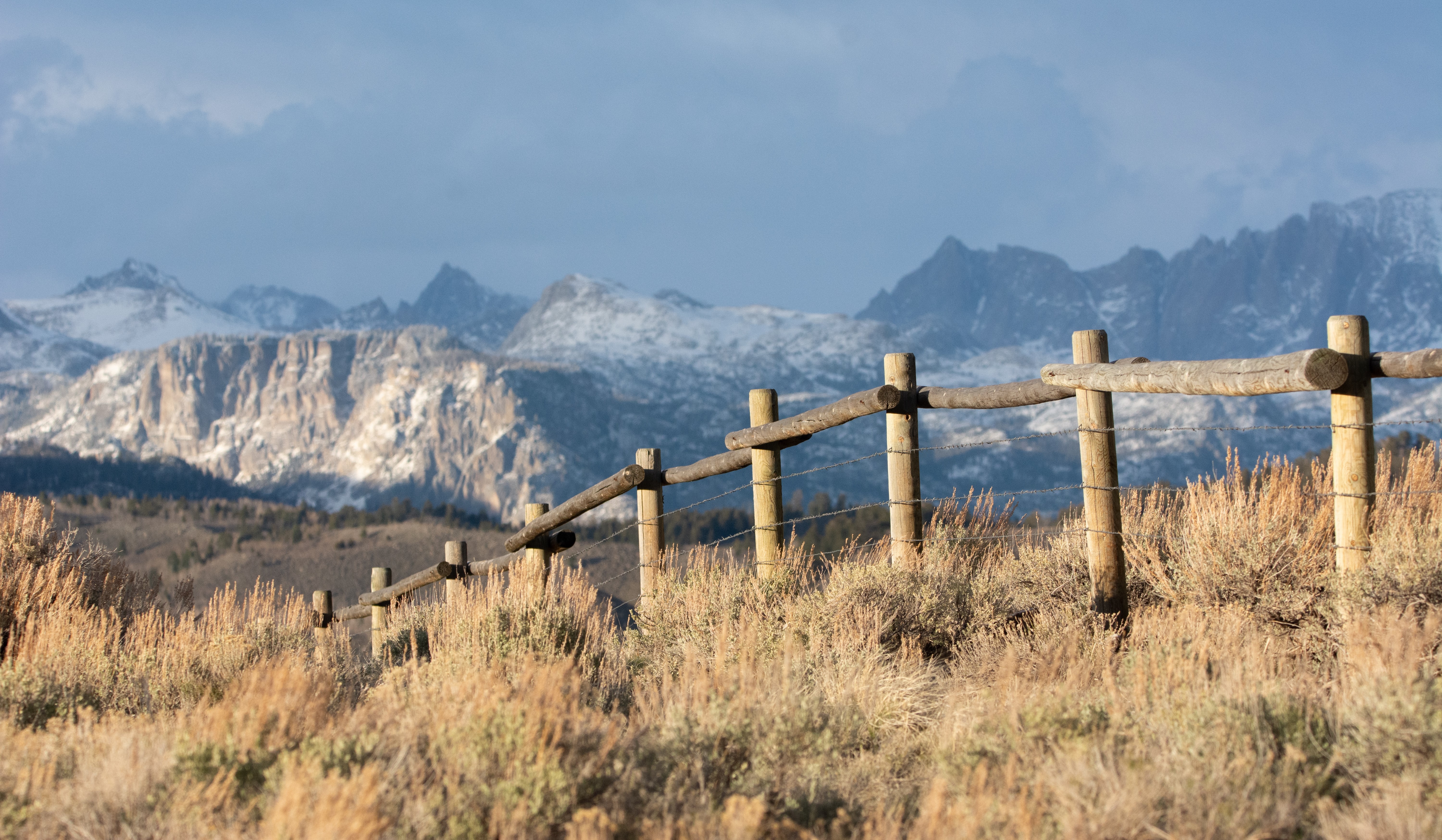
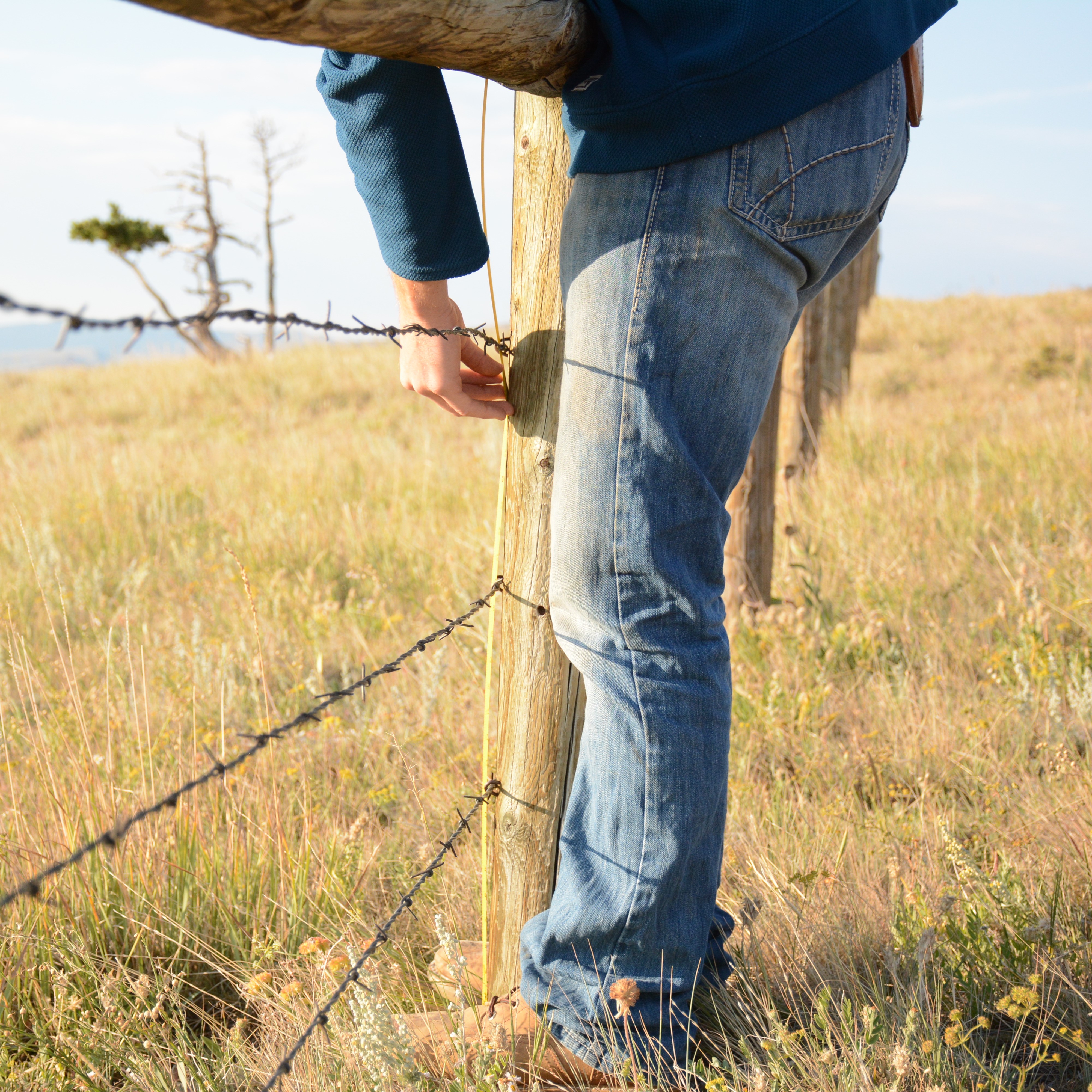
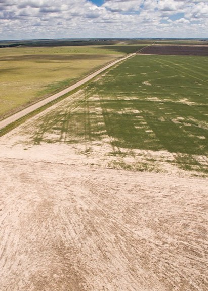 Photo © Jeremy Roberts / Conservation Media
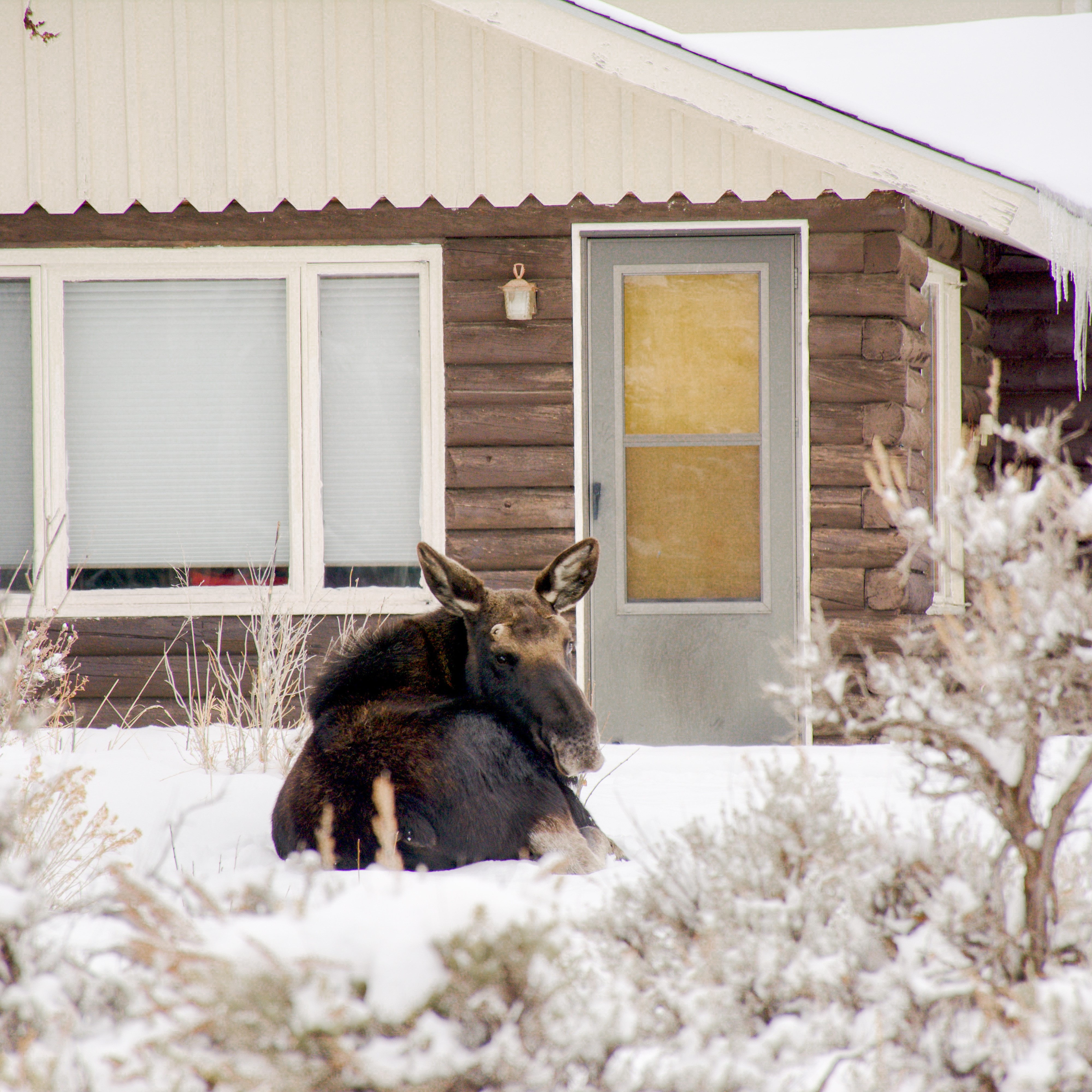
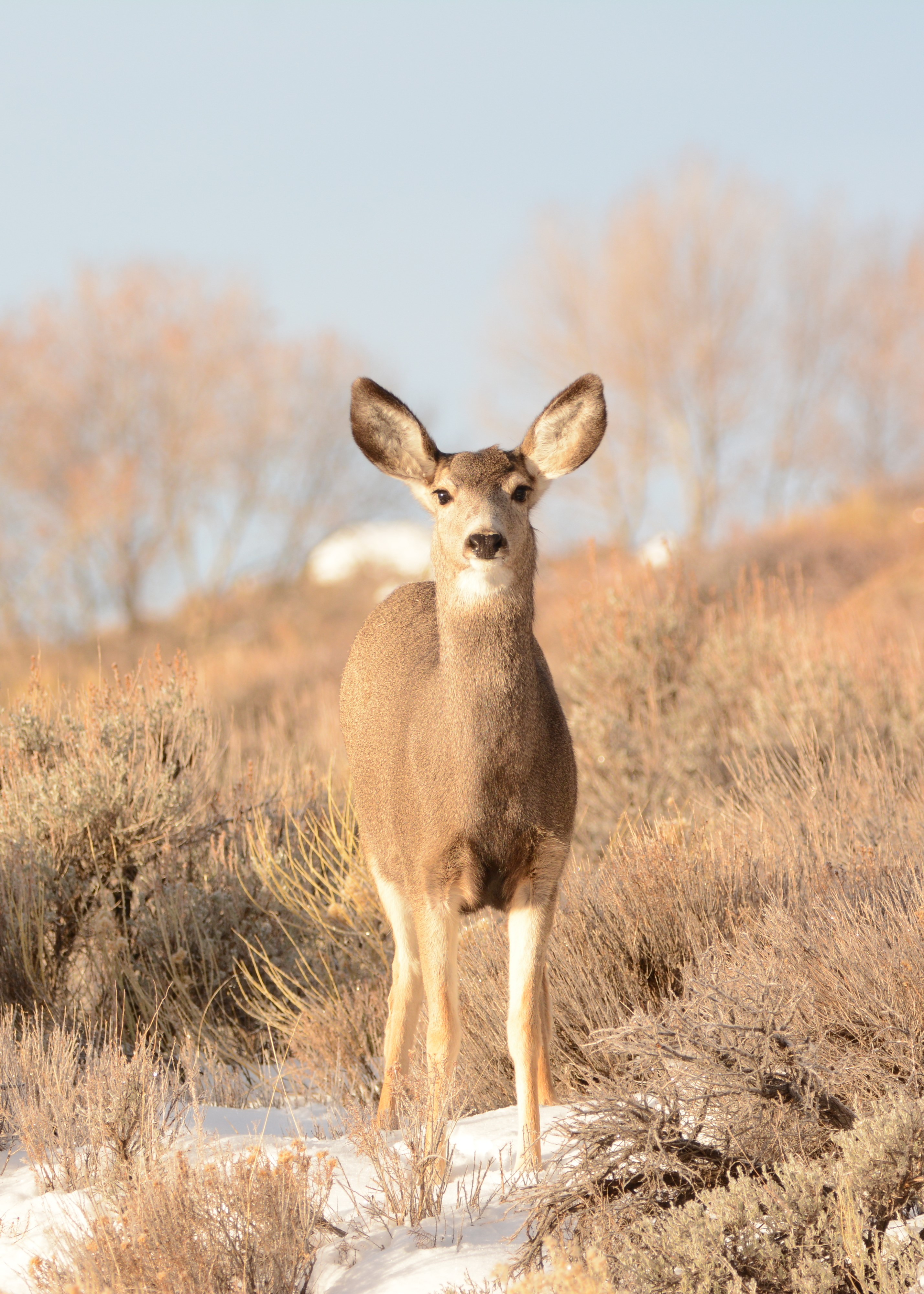 Photo © Ashley Townsend
Conservation Tracker Overview
The Conservation Tracker app was developed to highlight and share ongoing conservation efforts through the Migratory Big Game Initiative. This application aggregates key data to identify successes and promote transparency in conservation outcomes. All data is stored in a secure database at the University of Wyoming, and only summarized and aggregated information is displayed to ensure both usefulness and privacy.
Through intuitive visualizations and regular updates, users can monitor trends, celebrate collective achievements, and collaborate to address new challenges in areas of migratory big movement projects. By bringing together stakeholders, the app fosters a shared commitment to wildlife conservation and habitat connectivity.
Documentation
Conservation Agreements
This page describes conservation easements and leasing agreements represented in the Conservation Tracker.
Habitat and Fence Projects
This page describes habitat restoration and fence projects represented in the Conservation Tracker.
Landowner Confidentilaity
This page explains how landowner confidentiality is protected within the Conservation Tracker
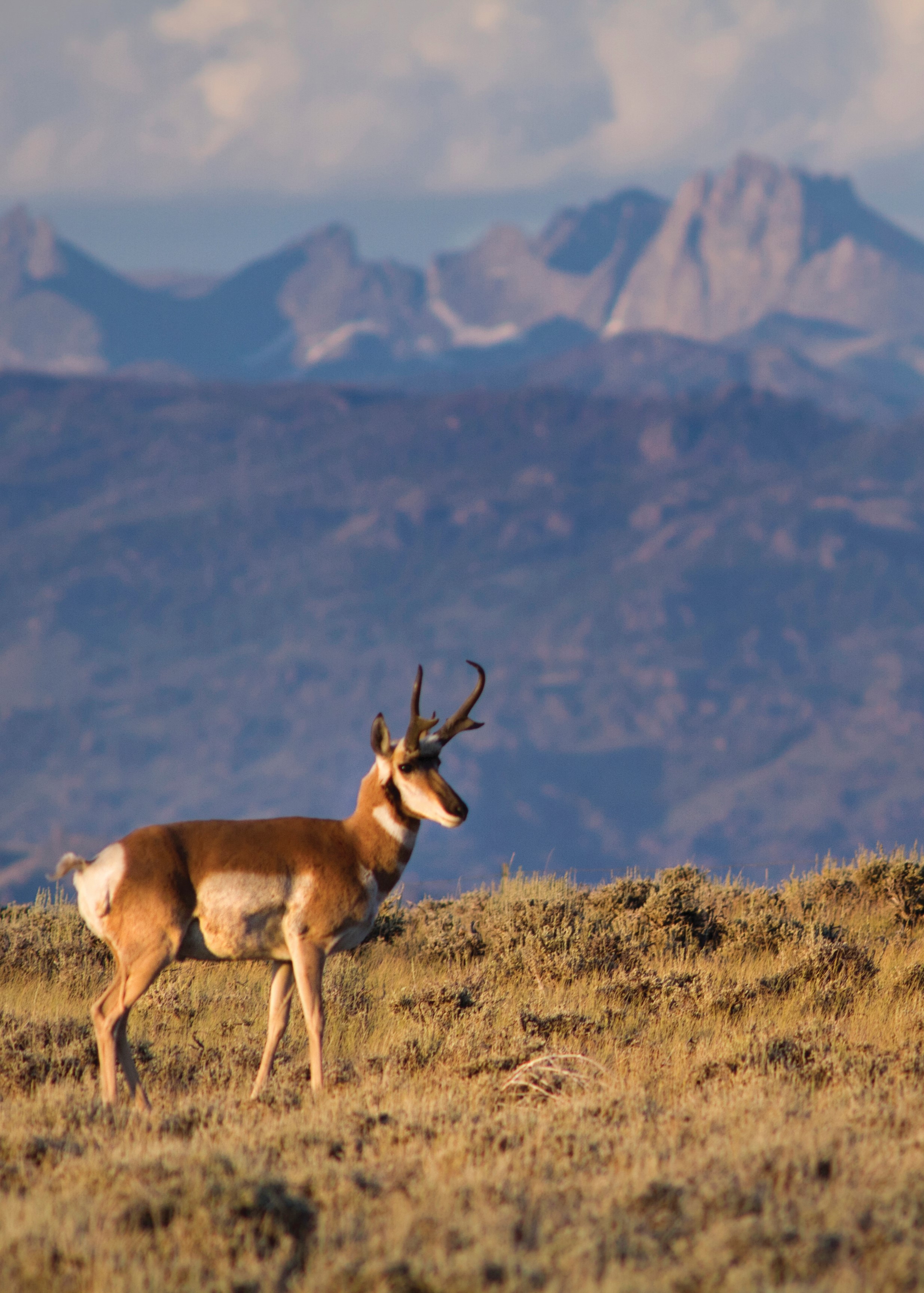 Photo © Jeremy Roberts / Conservation Media
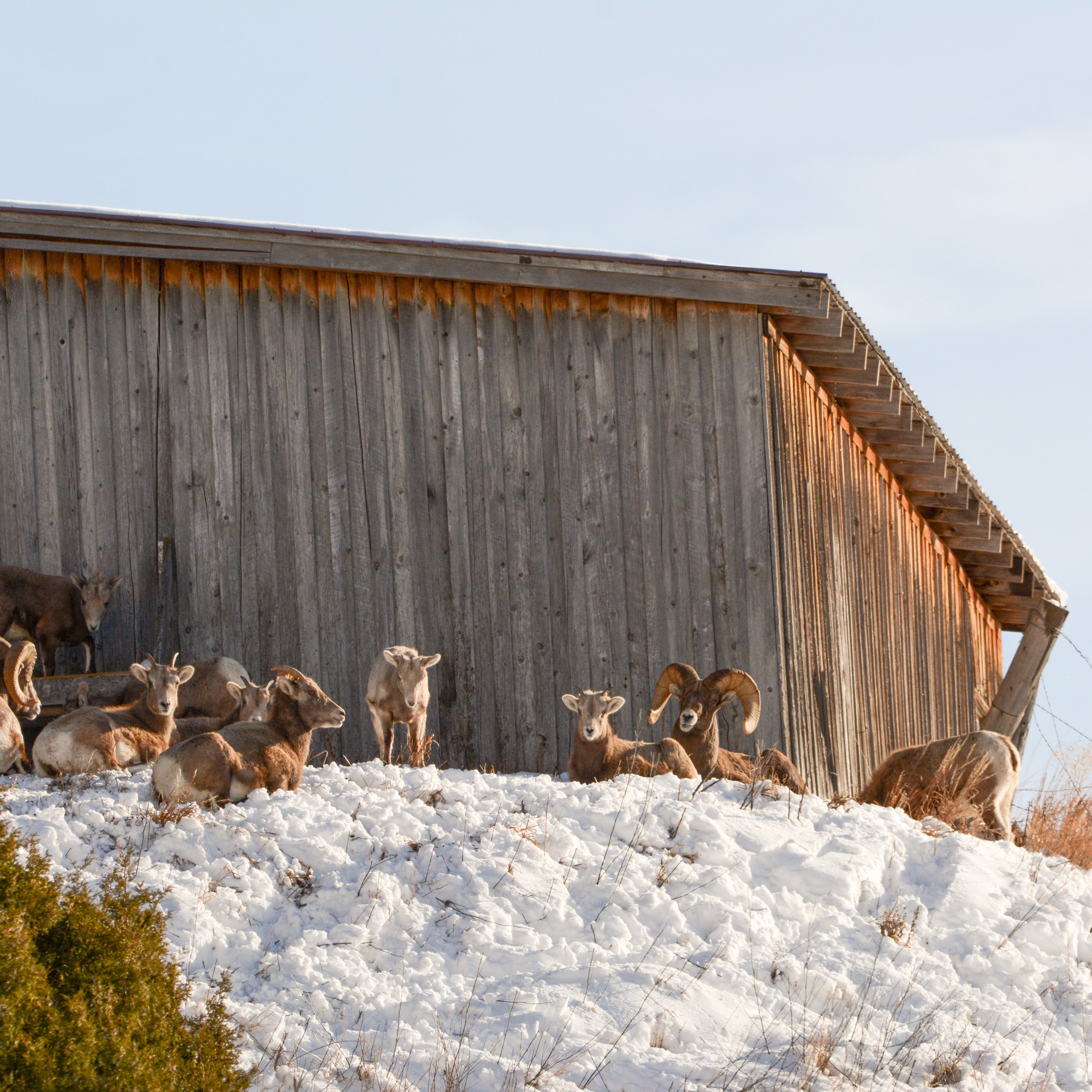
Frequently Asked
Questions
Land Management
Private Lands > 5 acres
Acres: Unknown
Percent: Unknown
# of Private Landowners: Unknown
# of Parcels: Unknown
Conservation Easements
Owners Under Easement: Unknown
Acres: Unknown
Percent: Unknown
CRP
Owners Under Grassland CRP: Unknown
Acres: Unknown
Percent: Unknown
EQIP
Total # of Contracts: Unknown
Conservation Easements & CRP
NA
NA
NA
NA
Development
NA
NA
Drop a zipped shapefile here to summarize conservation in a custom boundary